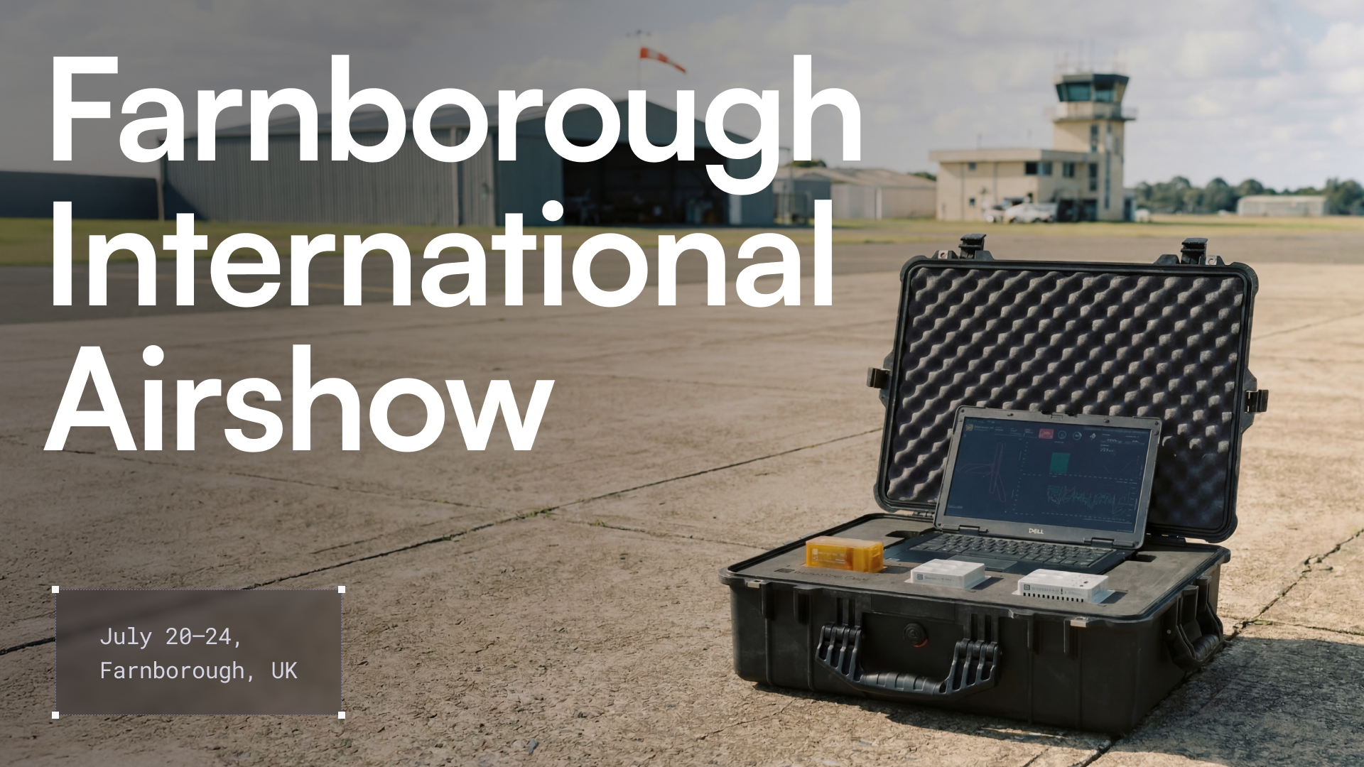
Redefining aircraft navigation in a GPS-challenged world with Airbus


Modern aviation runs on precision, and GPS powers nearly every part of it. Since the FAA first approved GPS for use in Instrument Flight Rules navigation in 1994, it has become central to how airlines develop routes and operate aircraft worldwide, from flight planning to gate arrival. It provides the navigation and timing data that keep aircraft and control systems aligned.
Pilots use GPS to follow optimized routes, decreasing fuel consumption and aircraft emissions, and to operate safely in congested airspace. GPS also supports key activities on the ground through accurate taxi routing and coordination of airport vehicles.
As commercial airspace becomes more automated and traffic grows, the aviation sector’s reliance on GPS continues to deepen, making resilience against signal disruptions a growing priority.
GPS remains essential; navigation resilience requires a robust backup
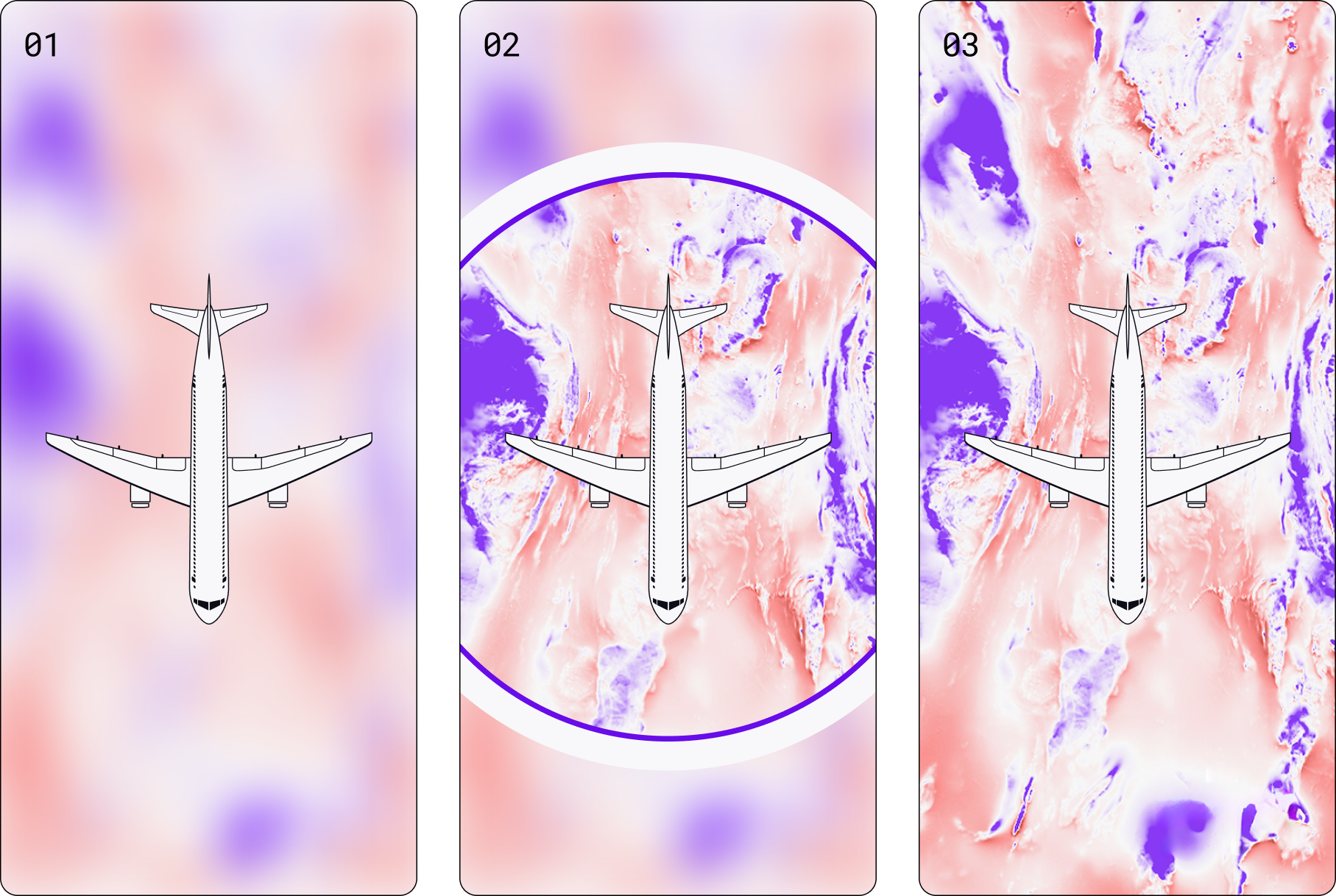
GPS is state-of-the-art when it comes to navigation, yet recent disruptions caused by deliberate jamming and spoofing show how easily broadcast signals from GPS satellites can be degraded or denied. This emerging pattern, particularly near contested environments, underscores the need for stronger navigation resilience as an urgent priority.
Unfortunately, commercial aviation isn’t immune, and airspace over regions like Eastern Europe and the Middle East has become increasingly subject to degraded or manipulated GPS signals: over 1,000 civilian flights are affected daily by these kinds of intentional interference. For amateur troublemakers, GPS jammers that cause interference that overwhelms the weak satellite signals used in GPS are cheap and easily available. For state actors, much more sophisticated and powerful systems have become a weapon of economic and strategic corruption of GPS systems.
Q-CTRL has been working with Airbus on a new type of aircraft navigation system with the potential to enable safe and reliable flights even in the midst of these challenging conditions. Our approach embraces the most futuristic tech to deliver on the needs of commercial aviation: quantum technology.
Since 2024, we’ve been collaborating to test and evaluate a new generation of quantum-assured navigation systems powered by quantum sensors and advanced software.
Quantum sensing brings new resilience to flight operations
Our collaboration is focused on Ironstone Opal, a validated quantum navigation system delivering real performance advantages over today’s GPS backups in flight. It was recognized by TIME Magazine as one of the Best Inventions of 2025, and is designed to help commercial operators explore alternatives that enhance performance without adding complexity or operational overhead for pilots.
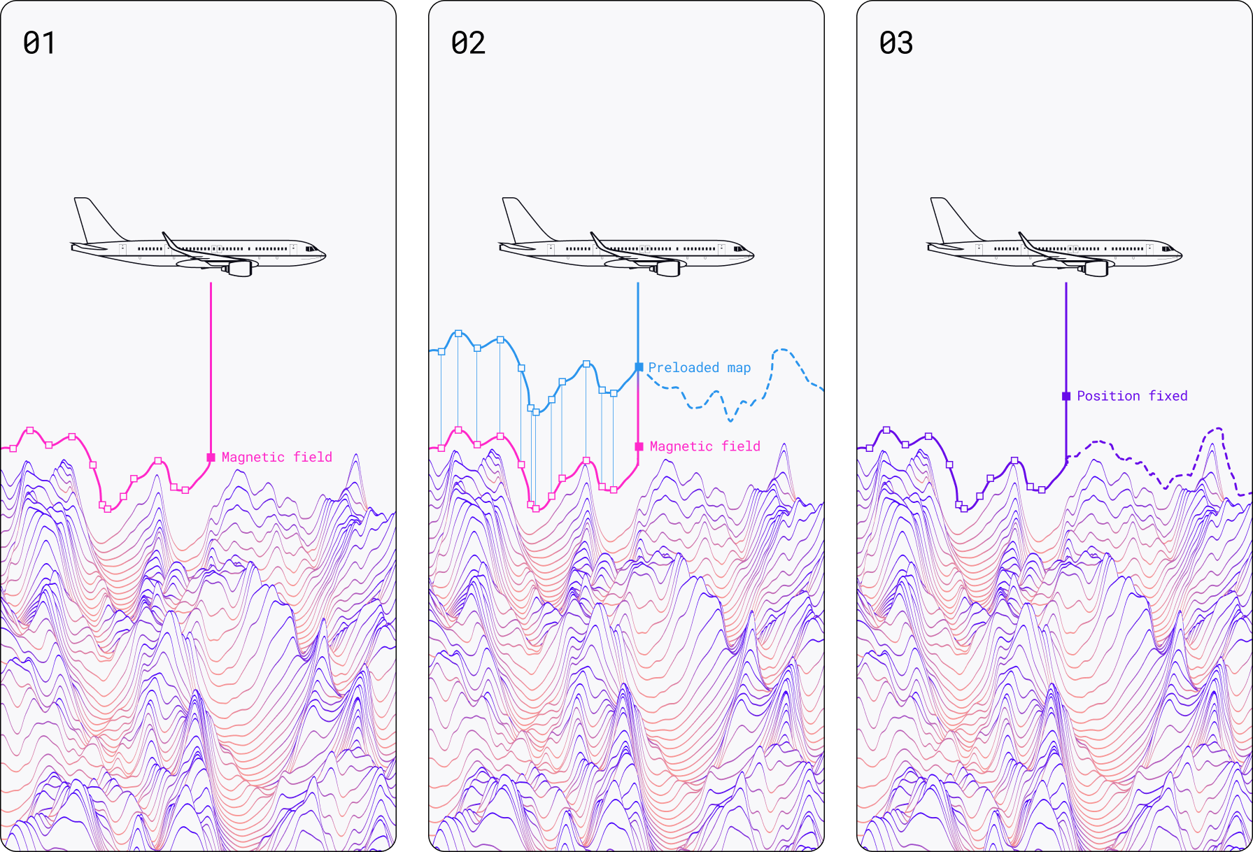
It works by measuring Earth’s magnetic fields and gravity with quantum sensors and matching those signatures to known maps to determine position. This approach is very similar to the way you might navigate a city using a map and your eyes, except now quantum sensors provide a new set of eyes to see otherwise unseen features of the Earth.
Ironstone Opal pairs the quantum sensor hardware with AI-driven software ruggedization, which filters out environmental noise and platform interference. The result is a stable, precise signal, even in real-world environments like aircraft cabins and wings.
Unlike legacy navigation systems we use today, such as inertial navigation systems, which require regular recalibration and are prone to drift, Ironstone Opal offers long-term stability and the ability to accurately position over very long periods without GPS.
Quantum sensors are themselves fundamentally stable, leveraging the laws of physics at the atomic level. This stability, plus the approach to navigation based on comparing your observed surroundings to a map, enables exceptionally precise positioning irrespective of how long your journey might be.
Ironstone Opal charts a course toward commercial aviation readiness
In 2025, Ironstone Opal achieved a world-first milestone in the quantum sector: the first verified demonstration of commercial quantum advantage in navigation. Conducted on air and land-based platforms, these tests demonstrated that the system could outperform a high-end legacy GPS backup in real-world conditions, delivering up to 111 times greater positioning accuracy over a 700 km flight. In absolute terms, these tests also validated that the system performed at the levels required by international aviation regulators, showing the real potential for impact in commercial aviation. Q-CTRL even successfully demonstrated this technology on a UAV with an international defense partner!
This is significant because today’s existing GPS alternatives all face limitations:
- Unaided inertial navigation systems are the most common, yet even high-grade devices accumulate errors over time and require frequent calibration.
- Visual navigation - even using automated camera-based systems - depends on clear visibility and can be disrupted by poor weather, altitude, or lighting.
Adding quantum sensing as a source of information to feed aircraft navigation could provide highly beneficial redundancy, an extra layer of rich data to assist the pilot in navigating the skies.
Ironstone Opal fills a critical operational gap by providing unjammable, unspoofable operation in any weather or visibility conditions, and without any active emissions of laser or radio signals. This makes it a highly valuable component of a suite of GPS backup technologies as commercial aviation, shipping, and autonomous vehicles seek to add layers of safety and redundancy for secure operations.
The collaboration between Q-CTRL and Airbus aims to set new global standards for flight and operational resilience through the power of quantum technology. Get in touch to learn more about Ironstone Opal and to request more information about evaluation kits for crewed aviation use cases.